How GeoDin played a big role in Germany's energy transition
How GeoDin played a big role in Germany's energy transition
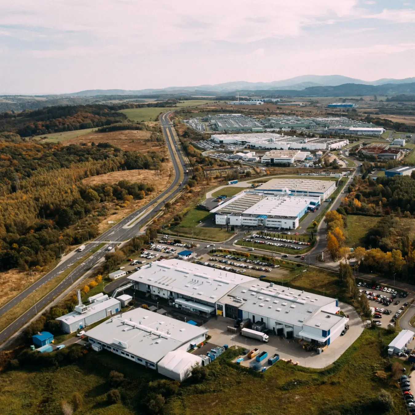
The SuedLink project is a cornerstone of Germany's ambitious goal of achieving carbon neutrality. This impressive underground cable transmission line of 700km, managed by Tennet and TransnetBW, transports renewable energy from offshore wind farms in the North Sea to the south of Germany. It is one of the longest underground cables in the world!
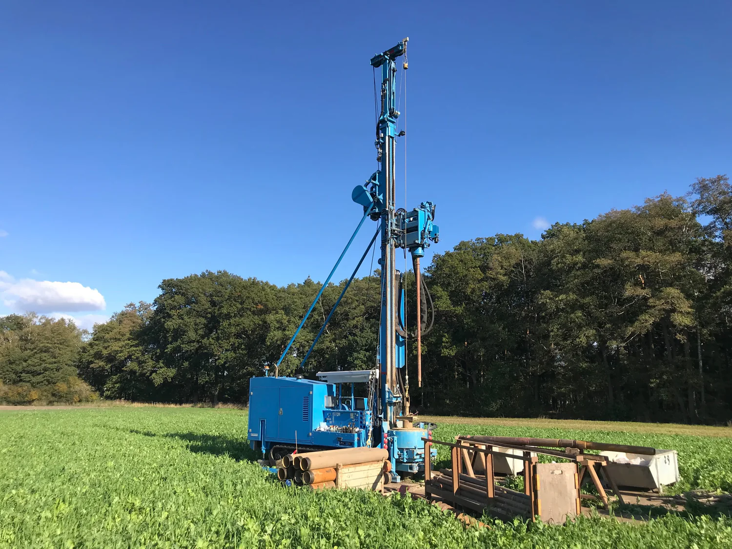
Determining the exact location of the cable underground and minimizing the cable heat transfer to the ground where key objectives that GeoDin was used for. GeoDin geodata management solution stored all ground data, which included roughly 1,150 soil samples. This geodatabase was shared with key stakeholders in the project, forming the single source of geo-data which allowed for better decision-making.
Key contributions of GeoDin
Let’s dive in: what contributions did GeoDin make to this impressive project? We’ll take you through some of the key contributions.

GeoDin single source of geodata and unified geotech model
GeoDin was used to process and integrate large volumes of site data in order to create a unified geotechnical model. Based on this, advanced techniques to assess the cable heat transfer to the soil were employed in order to mitigate environmental impacts. This prompted for agile adaptation in order to respond effectively to changing technical requirements throughout the project.
GeoDin supports site investigation and management, keeps everyone safe
GeoDin commitment to safety and efficiency was evident throughout the project. Rigorous HSSE protocols were implemented to ensure a safe working environment, while expert project management coordinated site investigations, permitting, and drilling activities. Accurate and detailed geotechnical logs were provided to support design and construction efforts.
GeoDin delivered geo-engineering consultancy to guide cable route design
In close collaboration with the project owner, engineers and planning staff, the GeoDin team developed a detailed geotechnical model to guide cable route selection and design.
This model considered the diverse landscape of the project site, including river crossings, and with reports generated with GeoDin, critical decisions were made.
Due to the complexity of the project and need for constant adaptation, new methods for a geological profile have been pioneered which set a new industry standard.
Optimizing dewatering solved with GeoDin
Dewatering a construction site is a significant cost for large-scale infrastructure projects like SuedLink. GeoDin served as a valuable data source for the 3D dewatering model, providing essential information on dewatering tests, water monitoring, and other relevant parameters. This data was integrated into the model, which was used to evaluate and guide effective dewatering strategies. The model helped to minimize impacts on agricultural land, wildlife habitats, and local watercourses.
GeoDin drives sustainable energy with SuedLink
GeoDin's advanced software platform for management of geodata and expert team were instrumental in the success of the SuedLink project. By providing a reliable data management system, efficient project management, and innovative solutions, GeoDin helped to minimize environmental impacts, ensure project
safety, and optimize construction processes.
As Germany continues its journey towards a sustainable energy future, GeoDin remains committed to supporting critical infrastructure projects and contributing to a greener and more resilient world.
With an expertise of nearly 30 years, GeoDin has been the preferred software for geotechnical data management from small consultancy organizations to government and big corporates. GeoDin provides a multitude of tools designed to manage, integrate, and visualize geotechnical data. Our end goal is to give geotechnical engineers the power to understand what lays beneath the ground, in order to build constructions that are solid and trustworthy.
