Real-time geodata management for secure and efficient tunnel construction and operation
GeoDin provides tunnel engineers and monitoring teams with a centralized platform for 24/7 remote surveillance, automated data processing, and immediate anomaly detection for critical underground projects.
The challenge of tunnel monitoring
Tunnel construction and long-term operation demand continuous and precise monitoring of ground movement, structural integrity, and environmental conditions.

The subsurface environment presents unique challenges that require robust and reliable data management:
- Massive data streams: Handling tens of thousands of measurements daily from a diverse array of instruments and suppliers.
- Real-time safety: The critical need for 24/7 remote monitoring and instant alerts for any deviations that could compromise safety or project timelines.
- Data consolidation: Centralizing data from various instruments, data loggers, and systems into a single, cohesive view.
- Automated processing: Reducing manual effort in data collection, quality checks, and reporting.
- Environmental dynamics: Responding quickly to changes in groundwater levels or other environmental factors that impact tunnel stability.
How GeoDin ensures tunnel safety and efficiency
GeoDin is purpose-built to address the complex requirements of tunnel monitoring, providing a comprehensive solution that centralizes data, automates processes, and delivers critical insights in real time.
24/7 remote monitoring
Maintain continuous surveillance of your tunnels with a system designed for remote access, allowing your team to monitor critical parameters from anywhere, anytime.
Automated data collection and processing
Streamline your workflow with automated ingestion of measurements from all instruments and suppliers, significantly reducing manual effort and potential for human error. GeoDin performs robust data quality tests before data is committed to the database.
Centralized instrument data
Consolidate data from all your monitoring instruments (e.g., extensometers, inclinometers, settlement sensors, strain gauges) into a single, integrated platform, eliminating data silos.
Real-time environmental change detection
Set up automated triggers to receive immediate notifications for significant changes in environmental conditions, such as groundwater fluctuations, that could affect tunnel stability.
Online portal for collaboration and reporting
Provide all relevant stakeholders with access to a secure online portal to manage, analyze, and present real-time data and generate professional reports effortlessly.
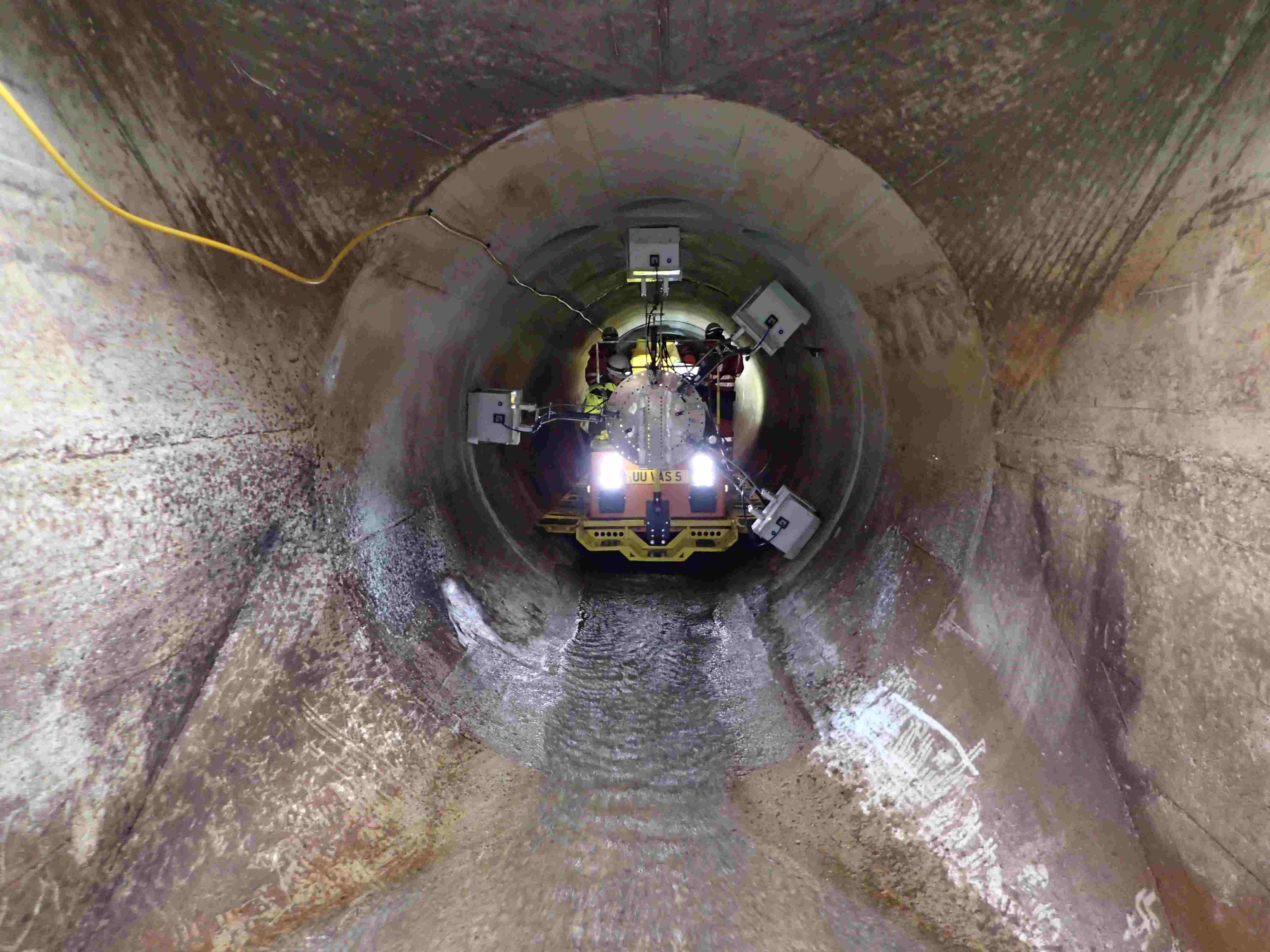
Perth's passenger railway tunnels
Challenge:
The construction of Perth's twin concrete-lined passenger railway tunnels required critical and continuous surveillance to ensure safety and stability throughout the project. This involved managing 32,000 daily measurements from a multitude of instruments and suppliers, ensuring 24/7 remote monitoring, automated data processing, and immediate alerts for environmental changes or data anomalies.
Solution:
GeoDin was implemented as the central system for managing all geotechnical monitoring data for the Perth railway tunnels. Key aspects included:
- Centralized data hub: Measurements from all instruments and suppliers were centralized within GeoDin, providing a single source of truth for all monitoring data.
- 24/7 remote surveillance: The system enabled continuous, remote monitoring of the twin tunnels, crucial for real-time safety assessments.
- Automated data processing: GeoDin handled 32,000 daily measurements with automated data collection and processing, significantly reducing manual intervention.
- Automated quality control: A series of data quality tests were performed automatically before data was written to the database, ensuring accuracy and reliability.
- Real-time alerts: Automated triggers were set up to provide immediate notifications for real-time environmental changes that could impact the tunnels.
- Online portal for stakeholders: An online portal allowed all relevant parties to manage, analyze, and present data and reports, fostering collaboration and transparency.
Result:
GeoDin ensured the critical surveillance of Perth's passenger railway tunnels, providing a reliable, automated, and centralized system for monitoring. This contributed significantly to the safety, efficiency, and successful progression of the tunnel construction project.
Key features for tunnel monitoring professionals
- Geodatabase creation
Create robust, standardized, and error-free geodatabases with built-in compliance to 11 international standards. Store borehole log data, CPT/SPT results, raster data, groundwater data, and supporting documents. - Data visualization
Generate interactive heatmaps, flexible cross-sections, and professional reports. Integrate geological maps and spatial context with embedded GIS capabilities. - Geotechnical tests
Utilize 60+ preconfigured methods for faster, more accurate soil analysis, including Atterberg limits, water content, permeability, compaction, and shear strength tests. Benefit from automated calculations and flexible formula management. - Compliance standards
Ensure uncompromising adherence to a wide range of international standards (DIN, ISO, NEN, ÖNORM, ASTM, BS 5930, GOST, KA5, SEP1, SEP3). - AGS exporter
Easily export your geotechnical data to the AGS format, ensuring seamless data interoperability and compliance with industry standards. - Integrations
Seamlessly connect with Autodesk Civil 3D, ArcMap, QGIS, and other industry-standard applications.

Ready to secure your underground projects?
Empower your tunnel monitoring with GeoDin's real-time insights, automated processes, and comprehensive data management capabilities.
