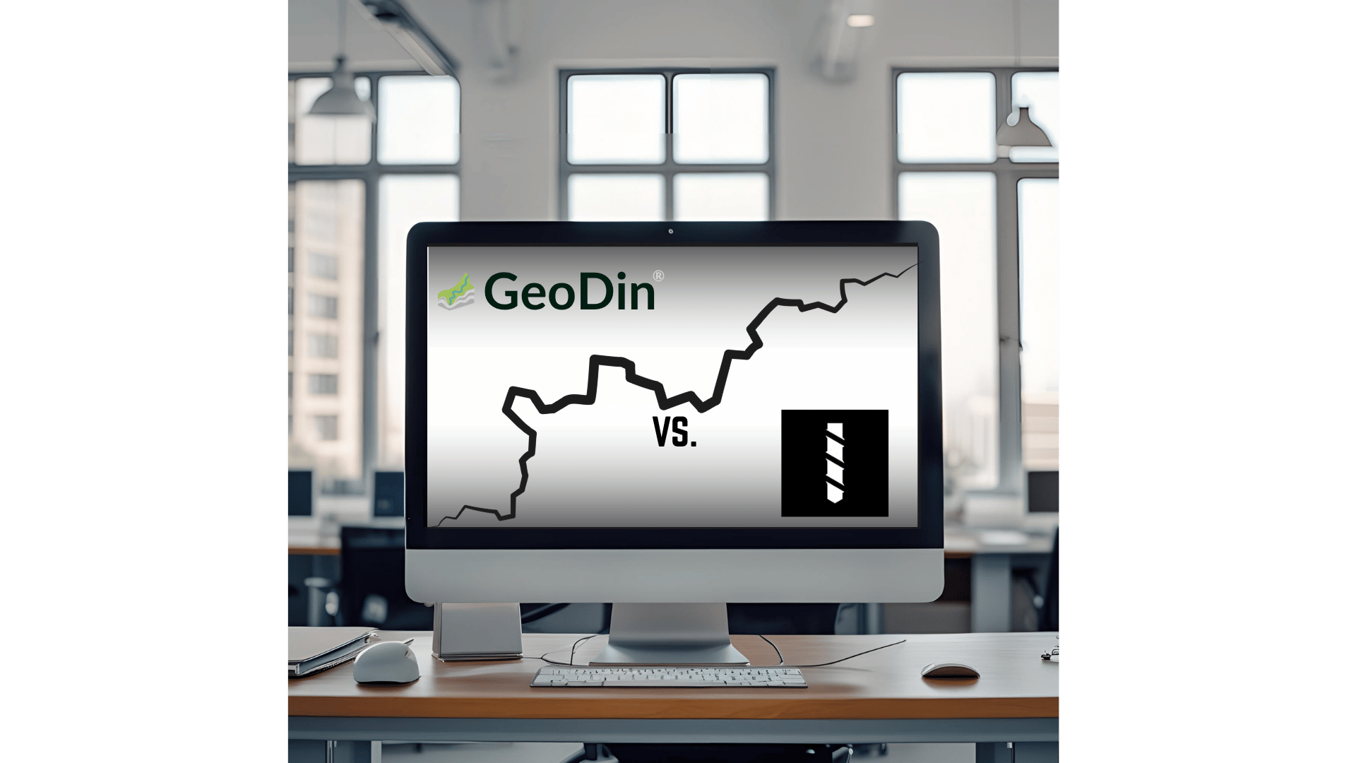
How GeoDin compares to BoreDM in 2025: a detailed comparison
Many geotechnical engineers look for geotechnical datamangement software, or boring log software. Also, with gINT phasing out, alternatives are what we need. Let's compare GeoDin and BoreDM, often searched for as alternatives. While both solutions help teams manage their geotechnical database, there are important differences to consider when choosing the right boring log software for your organization.
This comparison will help you understand the key differences between GeoDin and BoreDM so you can make an informed decision based on your specific needs.
Solutions overview
Let's get started with a first overview of both solutions.
GeoDin
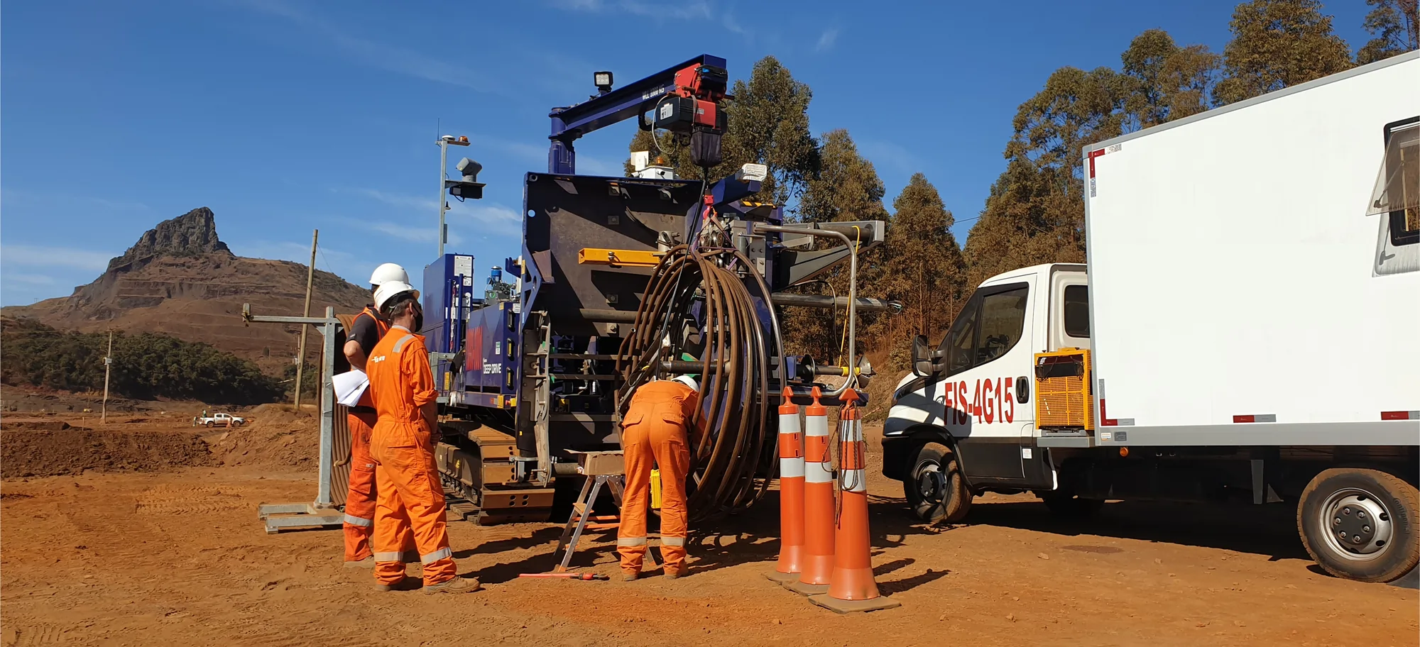
supplies geodata management software for geotechnical engineers to create robust geo-databases and be able to better visualize what's beneath the ground. Built by engineers, for engineers, GeoDin delivers fast and easy compliant database creation, advanced visualization, error-free calculations, and seamless Civil 3D integration with the option to store the data locally (offline), on prem (company network) or cloud provider of choice.This is remarkable in an era where data is currency. GeoDin gives geotechnical engineers complete control over their data.
BoreDM
is a web-based geotechnical data management platform that offers customizable boring log production and laboratory data management. It focuses on providing adaptable features and quick data entry for geotechnical and environmental firms. BoreDM is a new player in the industry and is currently developing their product as they operate.
Key differences at a glance
GeoDin and BoreDM represent two distinct approaches to geotechnical data management, each with its own merits for different types of organizations.
GeoDin
GeoDin supplies geodata management software for geotechnical engineers to create robust geo-databases and be able to better visualize what's beneath the ground. Built by engineers, for engineers, GeoDin delivers fast and easy compliant database creation, advanced visualization, error-free calculations, and seamless Civil 3D integration with the option to store the data locally (offline), on prem (company network) or cloud provider of choice. This is remarkable in an era where data is currency. GeoDin gives geotechnical engineers complete control over their data.
🟣 Iterative development shaped by 30 years of real engineering challenges and solutions
➕Comprehensive feature set based on established industry needs
🟣 Proven architecture that reflects deep understanding of geotechnical workflows
BoreDM
BoreDM is a web-based geotechnical data management platform that offers customizable boring log production and laboratory data management. It focuses on providing adaptable features and quick data entry for geotechnical and environmental firms. BoreDM is a new player in the industry and is currently developing their product as they operate.
🟣 Modern, user-friendly interface design
➖ Active development with regular updates and new features
🟣 Opportunity for users to influence future development
In the geotechnical industry, where data accuracy and reliability directly impact safety and risk management, the choice between established functionality and emerging solutions becomes particularly significant. While BoreDM's modern approach offers certain advantages, the critical nature of geotechnical work typically demands proven, reliable solutions.
GeoDin's three decades of experience in handling complex geotechnical data translates to reduced risk, greater reliability, and immediate access to essential functionality. For organizations where precision and reliability are non-negotiable - which describes most geotechnical work - GeoDin's mature, tested approach represents the most prudent choice. While participating in software development can be appealing, the stakes in geotechnical engineering are often too high to serve as a testing ground for emerging solutions.
GeoDin features
The critical nature of geotechnical work typically demands proven, reliable solutions.
GeoDin pricing differentiator
The pricing approaches of GeoDin and BoreDM reflect fundamentally different philosophies about serving the geotechnical engineering community.


"Being geotechnical engineers by heart, we believe delivering a solid software foundation from the beginning is key to our customers' success. No waiting for essential features - they're already here."
GeoDin customer support differentiator
The approach to customer support and success reveals another significant distinction between these geotechnical software solutions.
For geotechnical projects where accuracy and reliability are crucial, the distinction in support infrastructure becomes particularly significant. GeoDin's mature support ecosystem, built on decades of engineering experience, ensures that users have access to professional assistance when they need it most. This contrasts with BoreDM's evolving support structure, which, like the software itself, is still in development.
GeoDin
➕ 10+ dedicated support specialists with geotechnical expertise
➕ Comprehensive in-person training programs (standard and customized)
➕ Complete gINT migration support and process guidance
➕ Extensive onboarding procedure
➕ Direct access to technical experts
🟣 Clear documentation and transparent feature specifications
➕ Professional training delivered by experienced engineers
➕ Hands-on assistance during critical project phases
BoreDM
➖ Support system still under development
➖ Remote assistance from offshore development team
🟣 Self-service documentation
🟣 Community-driven problem solving
➖ Feature support depends on development status
🟣 Online training resources
➖ Digital onboarding materials
GeoDin migration & implementation differentiator
The key difference: GeoDin offers a professional, proven implementation pathway backed by a team of 10+ support specialists. This ensures organizations can transition their critical geotechnical data with confidence. For organizations where geotechnical data represents years of valuable project information, GeoDin's structured approach to migration and implementation minimizes risk and ensures business continuity.
GeoDin
➕ Complete gINT migration toolkit and dedicated support
➕ Structured 10-step onboarding process
➕ In-person training sessions available
➕ Custom migration solutions for legacy systems
🟣 Comprehensive implementation documentation
➕ Expert guidance throughout transition
➕ Proven data conversion tools (Leapfrog, AGS, DXF)
BoreDM
➖ Basic data import capabilities
➖ Self-guided setup process
🟣 Online documentation
🟣 Remote support options
➖ Digital onboarding resources
➖ Developing migration tools
Conclusion
What would be the final conclusion of the comparison between GeoDin and BoreDM in 2025?
In the specialized field of geotechnical engineering, the choice of data management software has far-reaching implications for project success, data integrity, and security. Professionals often rely on tools like boring log software as a fundamental part of their data collection and analysis process.
GeoDin stands as a proven solution with 30 years of continuous refinement shaped by real-world engineering challenges and extensive customer feedback. Built by engineers for engineers, it deeply understands the specific needs of geotechnical professionals. This engineering-first approach ensures that every feature serves a practical purpose in professional workflows.
The distinction in data security and ownership is particularly significant. GeoDin guarantees complete data sovereignty. Your valuable geological data is yours to keep, even if you discontinue your subscription or GeoDin no longer exists. This enduring ownership is ensured through our in-house development and strict no third-party access. This fundamental commitment to client data privacy stands in stark contrast to BoreDM's approach, where your geological data is accessible to their team. While both solutions offer tools for managing geological data, GeoDin's comprehensive features extend beyond basic boring log software capabilities, offering a holistic data management environment.
For geotechnical professionals who require certainty in their tools and complete control over their data, GeoDin's established solution, built on decades of engineering experience, presents the clear and prudent choice.
When to choose GeoDin
Simply put - GeoDin is the choice for organizations that can't afford to gamble with their geotechnical data management.
The choice becomes clear when considering professional geotechnical data management requirements:
GeoDin delivers certainty and reliability
- 30+ years of rock-solid experience in geotechnical engineering
- All code developed in-house by dedicated engineering teams
- Your data remains yours forever - complete privacy and control, with no third-party access
- Full transparency of features and capabilities
- No surprises, no experiments - just reliable performance
Strategic advantages
- Official Autodesk strategic partner
- Seamless integration from ground investigation to design
- Future-proof your workflow as design and engineering converge
When to choose BoreDM
BoreDM might be a suitable choice for organizations that:
- Have projects with limited number of boreholes, small diversity of data types that are supported by BoreDM and require simple visualizations
- Value being at the forefront of emerging software developments
- Appreciate modern interface design and newer development approaches
- Have the flexibility to adapt to software that is actively developing
- Are comfortable with some level of uncertainty during feature development
- Don't require data residency, security and ownership control and guarantees that GeoDin offers
Experience the difference for yourself!
Try GeoDin for 30 days and see if it holds up to BoreDM. Contact us on how to migrate from BoreDM to GeoDin - we'll be expecting your call.
