Precision geodata management for successful land reclamation and ground improvement projects
GeoDin provides land reclamation engineers and project managers with the advanced tools to manage sensor data, predict settlement, and guide fill placements for stable and sustainable new land.
The challenge of land reclamation projects
Land reclamation and ground improvement projects are complex undertakings that demand precise control and deep understanding of subsurface conditions.

These projects involve massive earthworks, material placement, and often rely on continuous monitoring to ensure stability and predict long-term behavior. Key challenges include:
- Vast data streams: Managing continuous data from a wide range of sensors (piezometers, inclinometers, settlement plates) and multiple data formats.
- Real-time monitoring and alerts: The need for immediate detection of anomalies and potential risks to prevent project delays or failures.
- Predictive modeling: Accurately forecasting settlement and ground behavior to optimize fill placement and ensure long-term stability.
- Data integration: Consolidating data from various sources (field sensors, lab tests, design models) into a unified view.
- Collaboration across disciplines: Sharing critical data seamlessly between geotechnical engineers, construction teams, and project stakeholders.
How GeoDin supports your land reclamation projects
GeoDin is specifically designed to handle the intricate data demands of land reclamation, providing a powerful platform for real-time monitoring, automated analysis, and predictive modeling, ensuring the stability and success of your projects.
Comprehensive sensor data management
Centralize and manage vast amounts of data from diverse geotechnical sensors. GeoDin supports automated import of multiple sensor file formats, streamlining your data workflow.
Automated geo-monitoring with instant alerts
Configure real-time monitoring and set up automated triggers to detect data anomalies or critical thresholds. Receive instant alerts to address potential issues proactively, minimizing risks.
Continuous data modeling
Leverage advanced data modeling capabilities to predict settlement, analyze consolidation, and guide optimal fill placements. GeoDin helps you make data-driven decisions to ensure ground stability
Direct and derived parameters
Manage both directly measured parameters from sensors and calculated derived parameters, providing a complete picture of ground behavior.
Seamless integration with other tools
Connect GeoDin with engineering software and analysis tools (e.g., MATLAB results) to enhance your existing workflows and predictive capabilities.
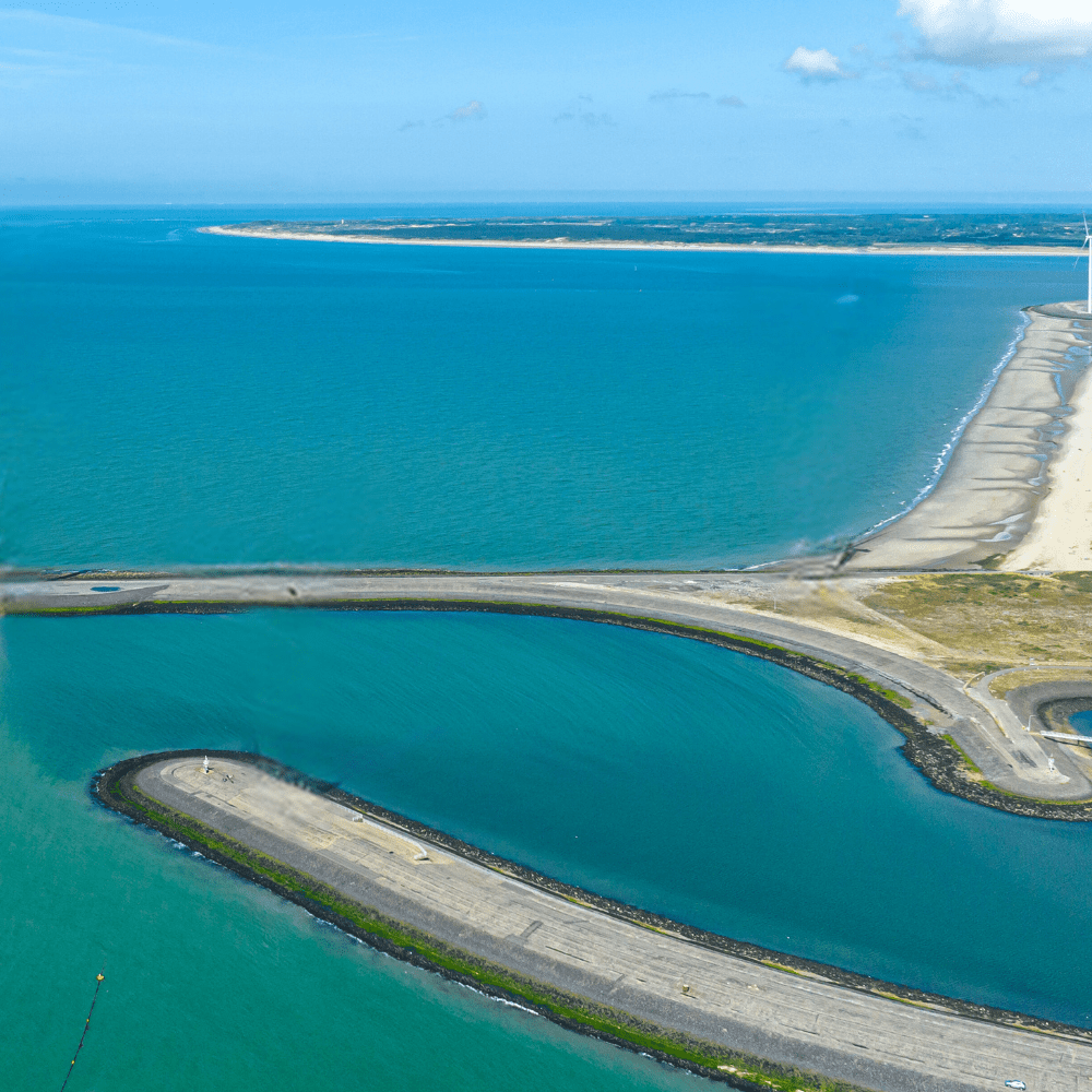
Port of Virginia land reclamation at Craney Island
Challenge:
The Port of Virginia embarked on the largest port expansion in the U.S. at Craney Island, a massive land reclamation project. The challenge involved managing a vast database from a wide range of sensors, ensuring automated import of diverse sensor files, integrating MATLAB results, and implementing an instant alert system for data anomalies to guide continuous fill placements and predict settlement.
Solution:
GeoDin provided the core data management and monitoring system for the Craney Island land reclamation project. Key aspects included:
- Sensor data integration: The system successfully managed a comprehensive database fed by a wide range of geotechnical sensors deployed across the site.
- Automated data import: GeoDin enabled automated import of multiple sensor file formats and integrated results from MATLAB analyses, streamlining data ingestion.
- Automated geo-monitoring: An instant alert system was implemented within GeoDin for detecting data anomalies, providing immediate notification of critical changes.
- Comprehensive data types: Both direct and derived parameters from the monitoring data were managed within GeoDin, offering a complete picture of ground behavior.
- Continuous data modeling: The system supported continuous data modeling, which was crucial for predicting settlement and guiding precise fill placements throughout the reclamation process.
Result:
GeoDin played a pivotal role in the successful land reclamation at Craney Island, enabling efficient, real-time monitoring, automated data processing, and accurate predictive modeling. This ensured the stability and optimal construction of the new land for the port expansion.
Key features for land reclamation professional
- Sensor data management
Centralize and process continuous data from piezometers, inclinometers, settlement plates, and other geotechnical sensors.
- Automated data import
Import data from various sensor formats and integrate results from external analysis tools like MATLAB.
- Real-time monitoring & alerts
Set up automated triggers and receive instant notifications for data anomalies or critical thresholds.
- Data visualization
Generate time-series plots, settlement curves, and other visualizations to track ground behavior.
- Predictive modeling support
Leverage data for settlement prediction and ground improvement design.
- GeoDin Onsite
Streamline field data collection for ground improvement surveys and material tracking.

Ready to build new land with confidence?
Leverage GeoDin to master your land reclamation data, mitigate risks, and ensure the long-term stability and success of your ambitious projects.
